
 Español (es)
 English (en)
Base maps
On this page
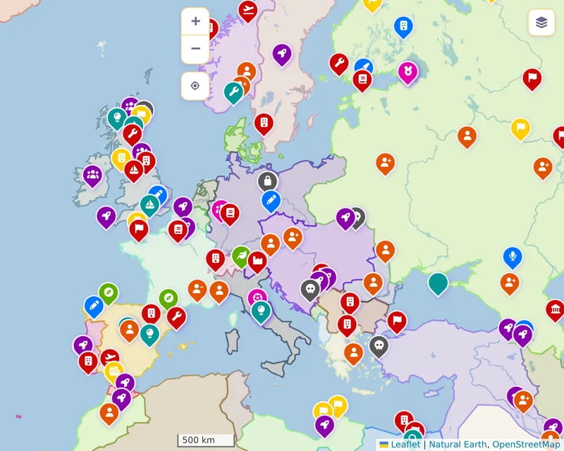
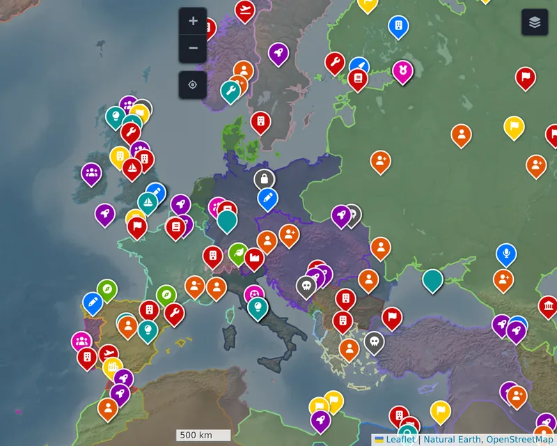
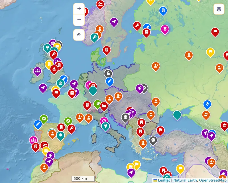
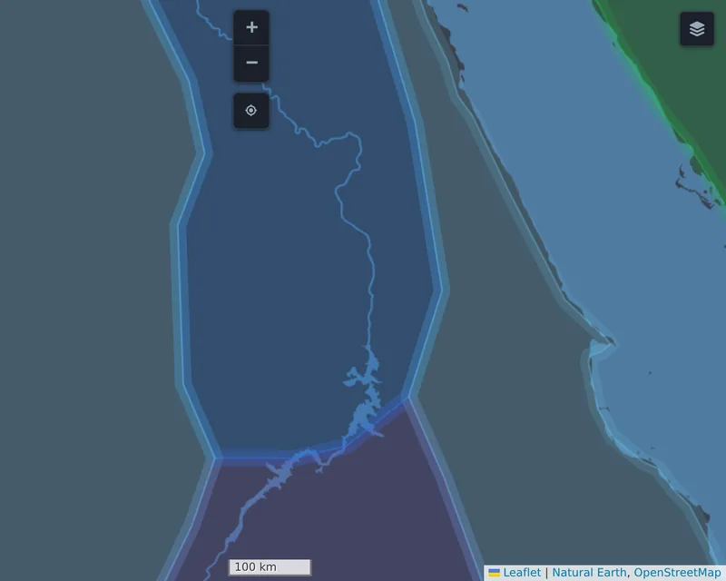
The base map is the background the facts and historical borders are drawn on: land and water and, depending on the layer, rivers, relief or today's names. It is changed with the layer selector at the top right of the map, and every layer looks different in each colour mode. This page shows them all, at the same places and years.
The four layers
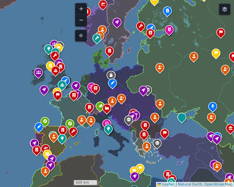
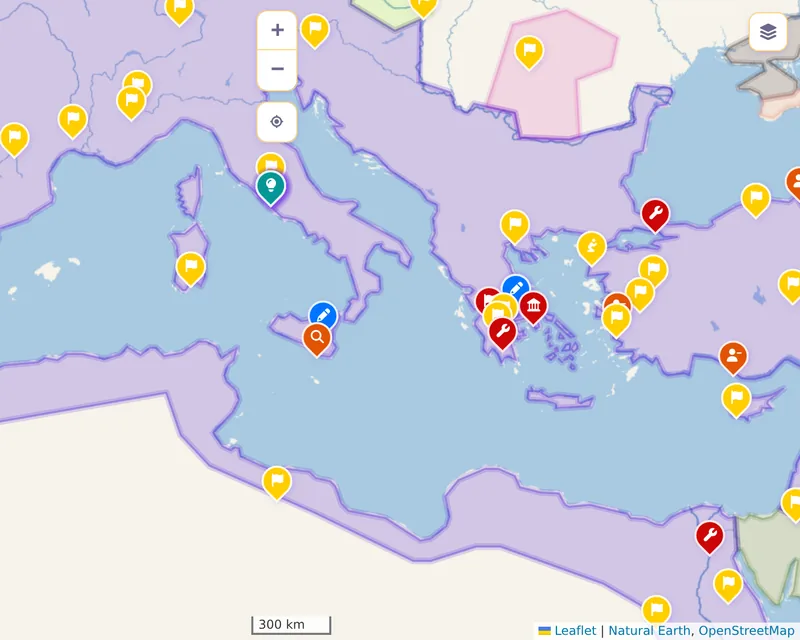
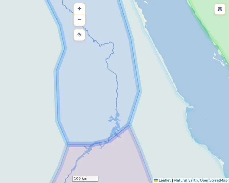
- Blank map. The default. Land, water, lakes and rivers, with no modern borders or names, so nothing competes with the historical borders. Smaller rivers and lakes appear as you zoom in. Before 1800 it zooms no further than zoom level 9.
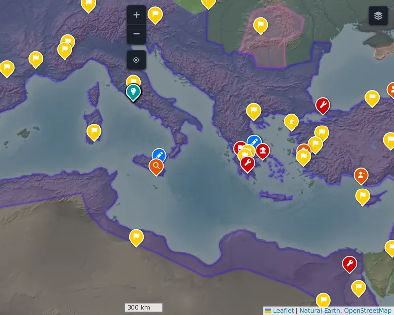
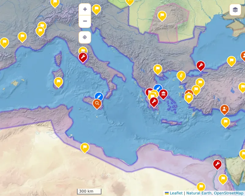
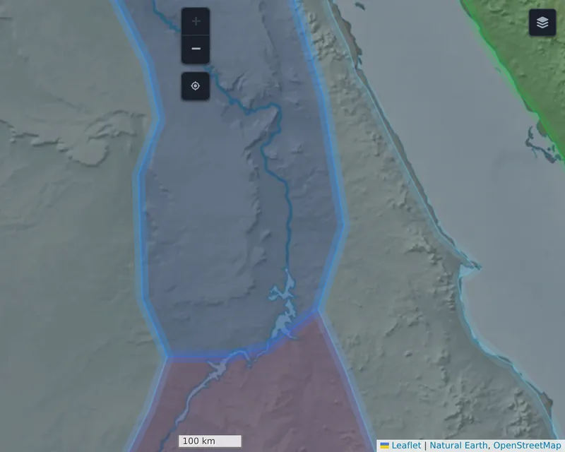
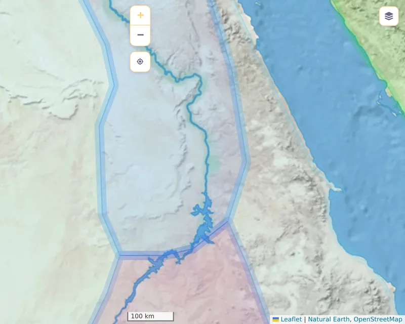
- Natural map. The landscape's relief and colours, also without borders or names. Before 1800 it zooms no further than level 7.
- Political map. OpenStreetMap: today's borders, cities and names. Useful to locate a place, though it mixes the present with the year being viewed.
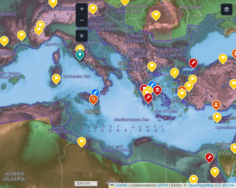
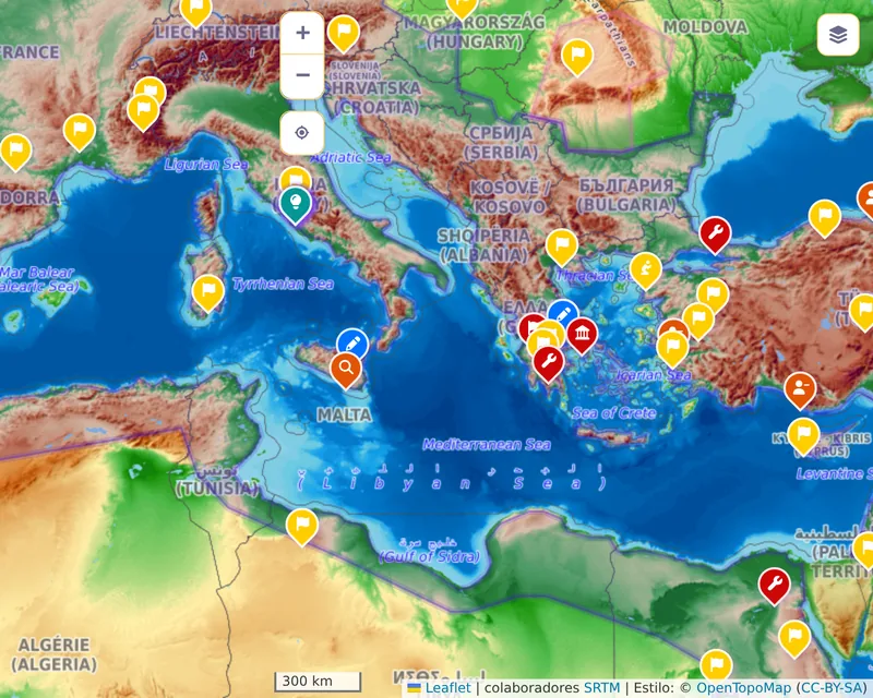
- Physical map. OpenTopoMap: relief with contour lines, and today's names too.
The blank and natural maps are our own, drawn from
Natural Earth, which is in the public
domain, and they have colours made for dark mode. The political and physical maps come
from external services: dark mode darkens them with a filter, and vibrant mode makes
their colours a little brighter. Beyond our own maps' deepest level, OpenStreetMap
shows, from 1800 on or in any year with deepZoomAnyYear.
No base map changes with the years. 20th-century reservoirs such as Lake Nasser appear
in every period, and the blank map draws some lakes with a historical outline, such
as the Aral Sea around 1960. A link can open the map on a chosen layer with the
basemap parameter (see Advanced).
Samples
In each sample the rows are the layers and the columns the colour modes. Click an image to open it full size.
Europe in 1914, zoom 4
| Layer | Light | Dark | Vibrant |
|---|---|---|---|
| Blank map | 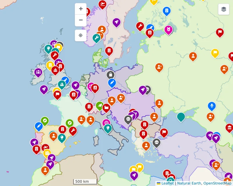 |
 |
 |
| Natural map | 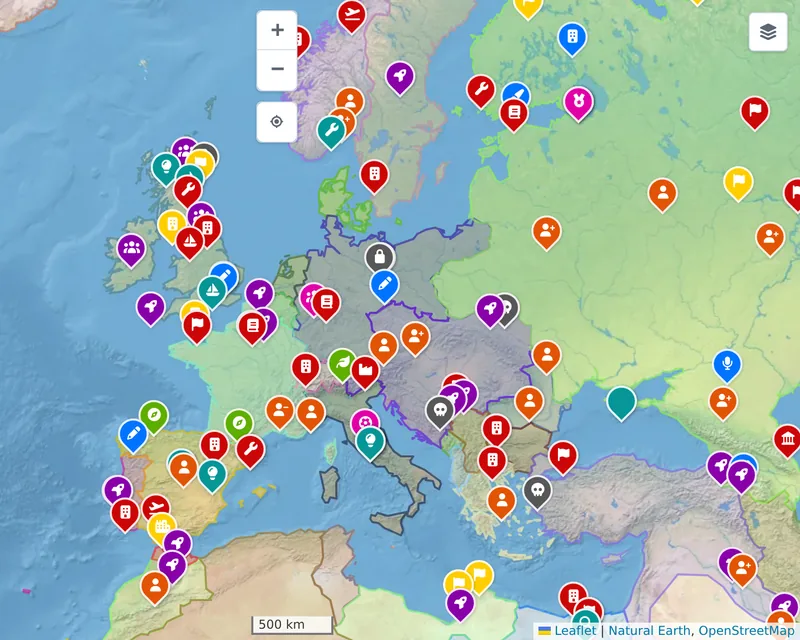 |
 |
 |
| Political map | 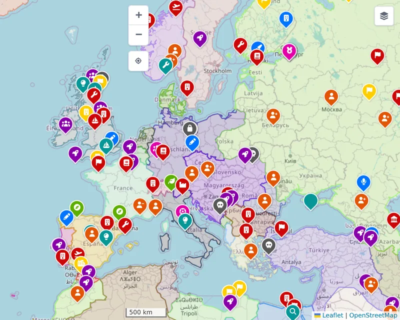 |
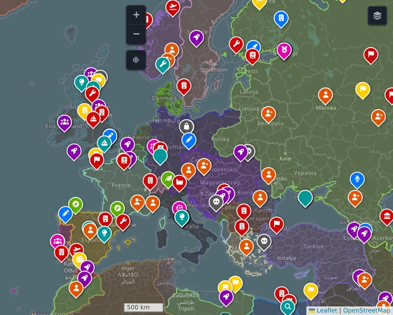 |
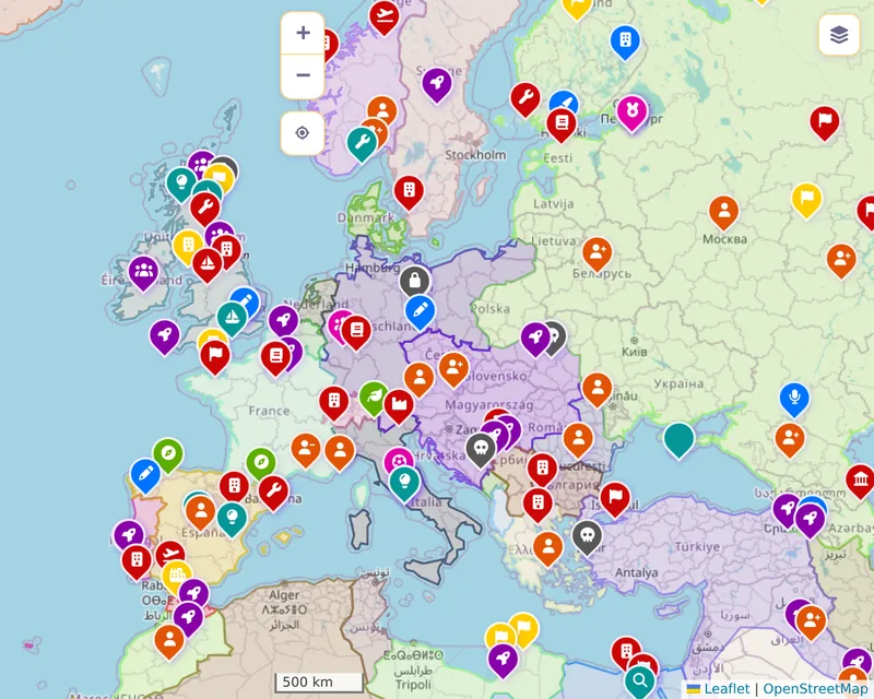 |
| Physical map | 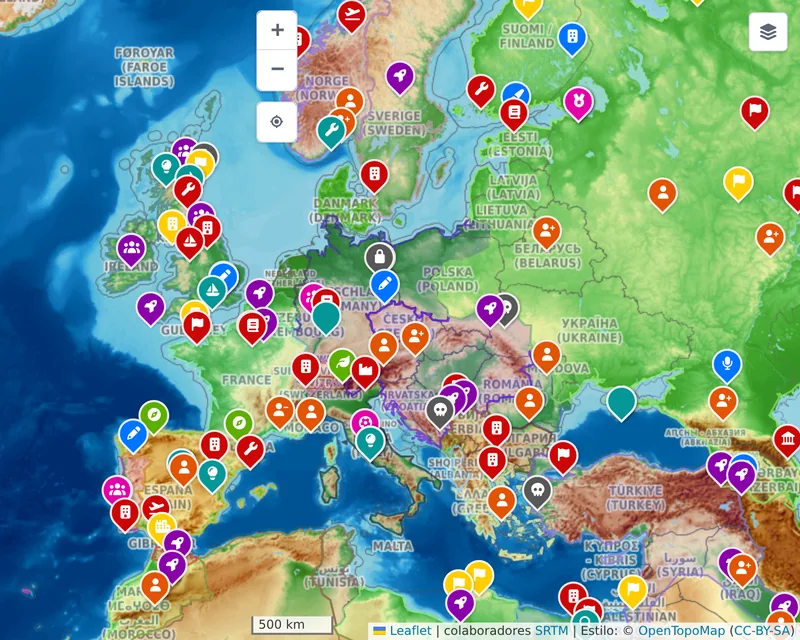 |
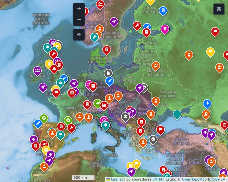 |
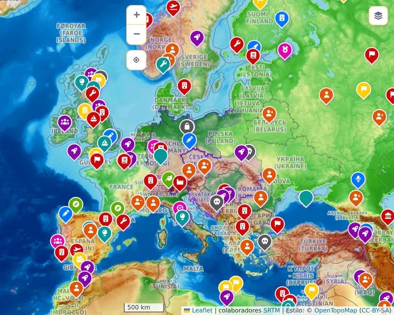 |
The Mediterranean in 117, zoom 5
| Layer | Light | Dark | Vibrant |
|---|---|---|---|
| Blank map | 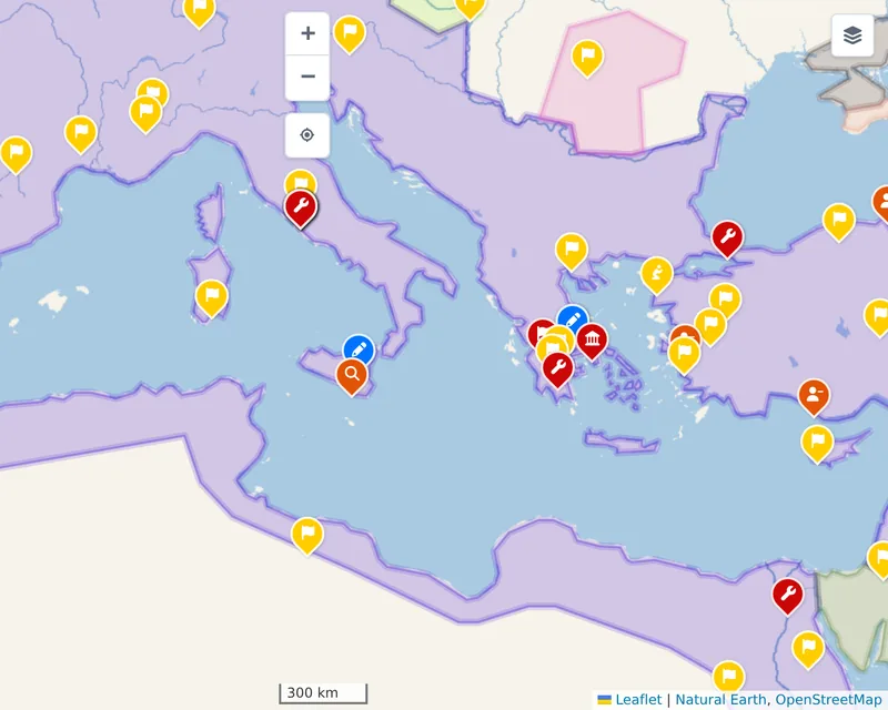 |
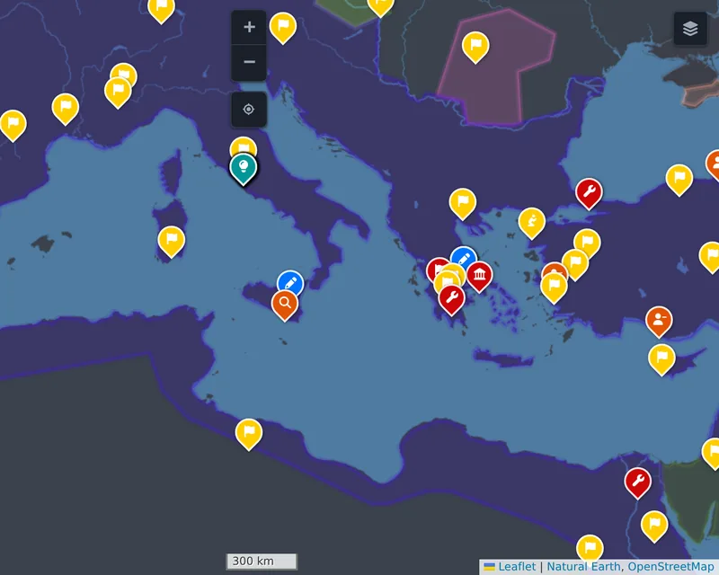 |
 |
| Natural map | 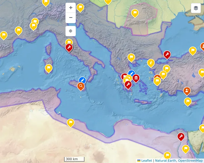 |
 |
 |
| Political map | 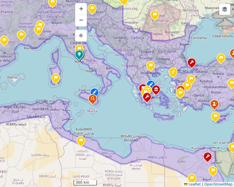 |
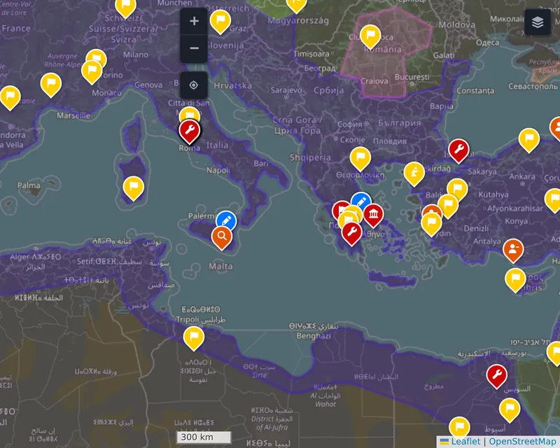 |
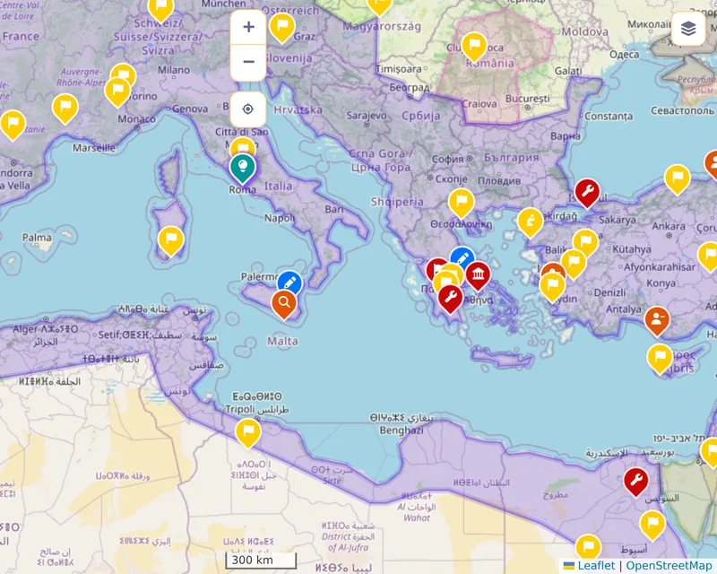 |
| Physical map | 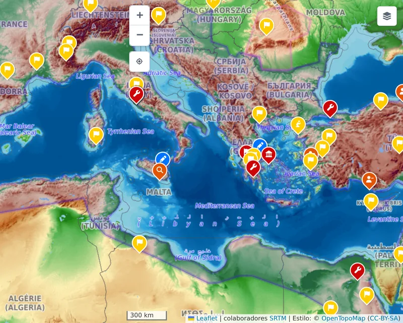 |
 |
 |
The Nile in 1250 BC, zoom 7
| Layer | Light | Dark | Vibrant |
|---|---|---|---|
| Blank map | 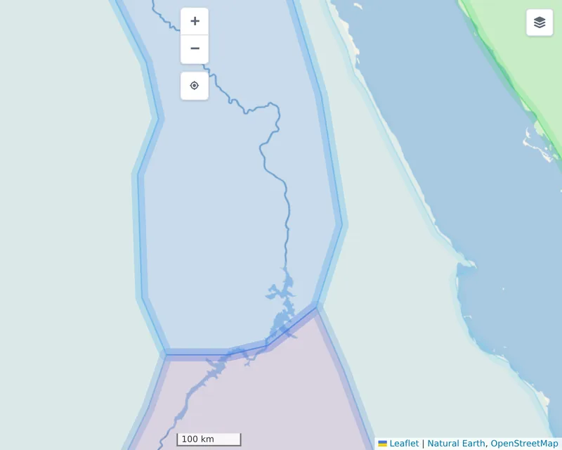 |
 |
 |
| Natural map | 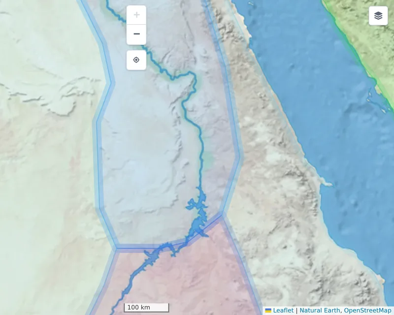 |
 |
 |
| Political map | 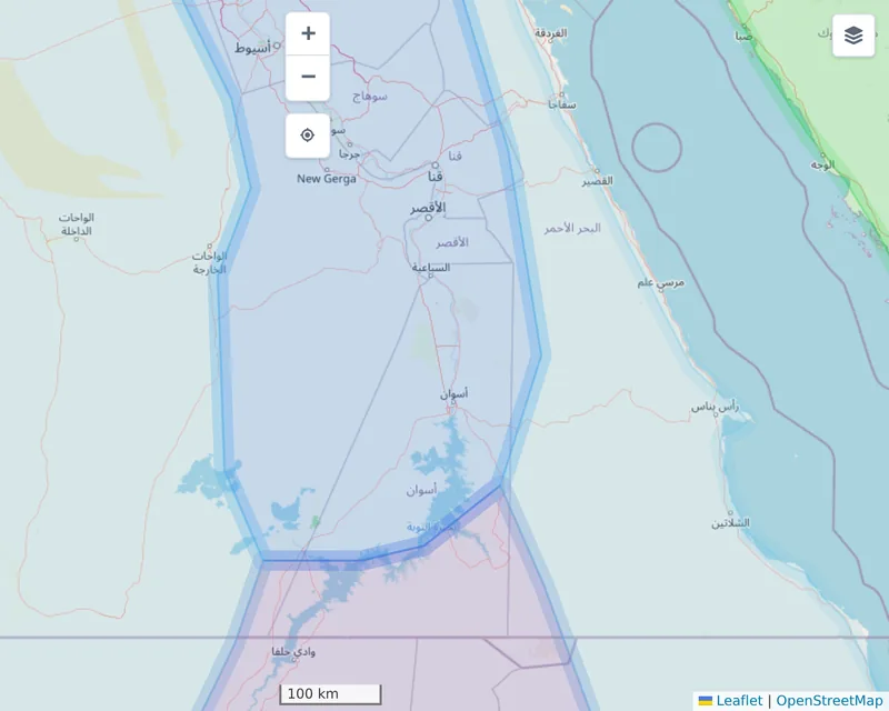 |
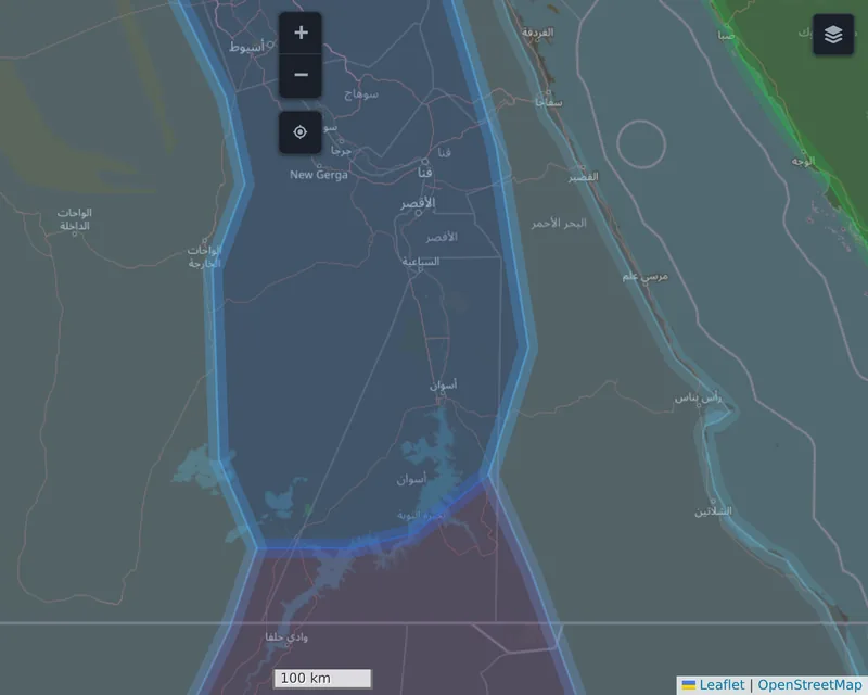 |
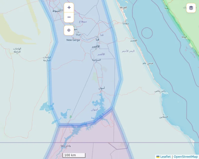 |
| Physical map | 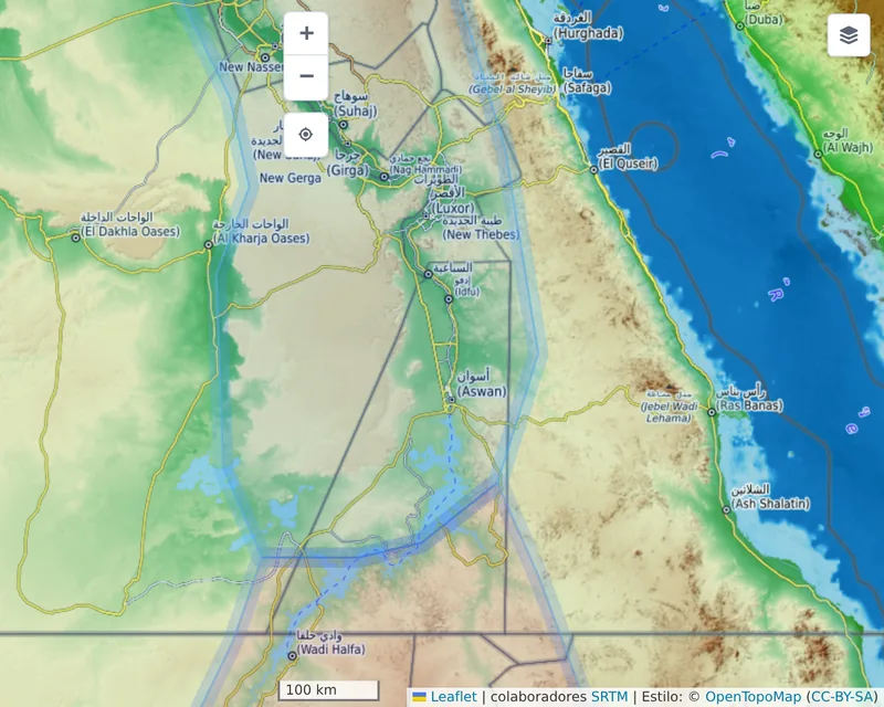 |
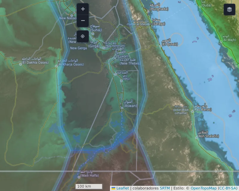 |
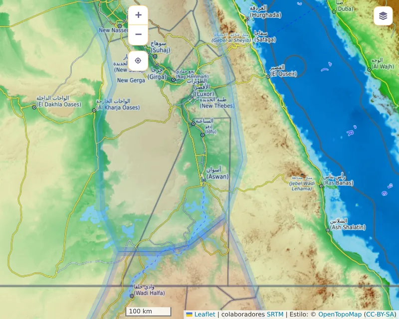 |